How health and climate teams across Africa use Google's Open Buildings dataset
Health planners and climate analysts in Rwanda, Nigeria, and South Africa are leveraging Google’s Open Buildings dataset for various frontline projects. This dataset is a result of the work done at Google Research Africa’s Accra lab, where high-resolution satellite imagery is converted into the most comprehensive public map of human settlements. In this map, each polygon represents an individual roof, with 1.8 billion building detections covering an area of 58 million kilometres across Africa, South Asia, South-East Asia, Latin America, and the Caribbean.
Empowering Data-Driven Decisions
By utilizing the Open Buildings dataset, analysts can estimate population, density, and infrastructure needs without the need for expensive field surveys. This technology marks a significant shift as artificial intelligence (AI) tools are increasingly being integrated into various public-service initiatives, ranging from crop-price forecasts to live language translation. Open Buildings aligns with this trend by demonstrating how open, locally guided AI can transform limited data into actionable insights without restricting African problem-solvers with paywalls or proprietary limitations.
Impactful Use Cases
In Rwanda, the Ministry of Health and Sand Technologies in Kigali have utilized the dataset to relocate rural clinics strategically. This initiative aims to ensure that 92% of citizens are within a 30-minute reach of essential healthcare services, reducing risks for mothers and newborns due to long journeys.

Similarly, in Northern Nigeria, epidemiologists at AFENET and geographers from WorldPop have identified and mapped buildings to aid vaccination campaigns targeting under-immunized children. The mapping efforts have proven instrumental in reaching children who had not received essential vaccines, significantly reducing zero-dose pockets in the targeted ward.
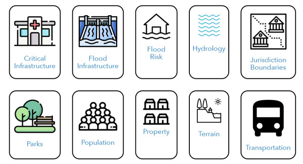
Enhancing Resilience Through Data
Organizations like the World Resources Institute (WRI) have applied flood-risk modeling in various regions, including Dire Dawa, Kigali, and Johannesburg, to mitigate the impact of natural disasters. By combining hydraulic simulations with building footprints, these initiatives provide detailed exposure maps to address vulnerabilities and enhance resilience in flood-prone areas.
Addressing Continental Challenges
Africa continues to face challenges such as the existence of millions of "zero-dose" children without routine vaccines and rapid urbanization that increases vulnerability to disasters. The Open Buildings dataset equips decision-makers with street-level insights on population growth and dynamics, enabling targeted interventions and optimized resource allocation to areas in need.
These projects exemplify the impactful outcomes that arise from the synergy between local expertise and scalable technology. By leveraging data for actionable solutions, these initiatives showcase the potential of AI in addressing real-world challenges and driving positive change in communities.