AI Tool Makes Realistic Satellite Images of Future Flooding
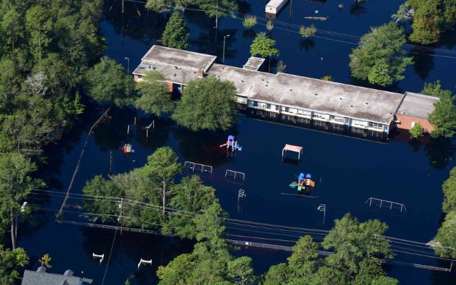
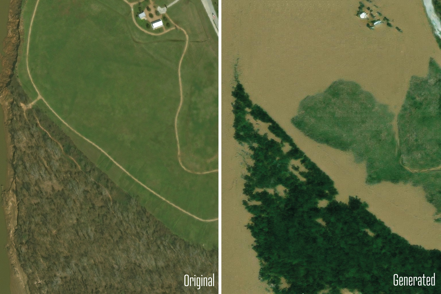
Visualizing the probable effects of a hurricane on people's homes before its arrival can help them prepare and determine whether to flee. Scientists from MIT have created a way for creating satellite imagery from the future to represent how a place will look after a potential flooding disaster. The method combines a generative artificial intelligence model with a physics-based flood model to provide realistic, birds-eye-view visuals of a region. It indicates where flooding is expected to occur based on the severity of an approaching storm.

The team's method is a proof-of-concept that demonstrates how generative AI models may produce realistic, trustworthy content when combined with a physics-based model. To adapt the technology to other places to show flooding from future storms, it must be trained on a large number of satellite images to understand how flooding might appear in other regions. To demonstrate the potential of the new technology, dubbed the "Earth Intelligence Engine," the team has made it available as an online resource for anyone to test.

Read more: Open-AI Shuts Down the Leaked Text-to-video AI Tool SORA
VidConverter is a free video converter that supports many formats. Easy to use, no installation required. The tool has high security, all data is encrypted & no trace.


