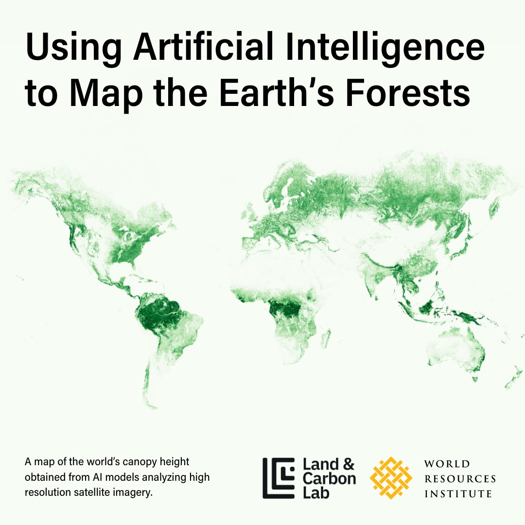
Earth Blox dataset review: Meta Global Canopy Height (1m)
Earth Blox offers the Meta Global Canopy Height (1m) dataset, which is available for access without the need for coding. This dataset, developed in partnership with Meta and World Resources Institute (WRI), marks a significant advancement in global forest mapping. The model provides a ground pixel size of 1m, making it a valuable resource for various applications, including biodiversity and forest carbon mapping.
Key Features and Benefits
Despite minor flaws, the Meta Global Canopy Height dataset offers several advantages:
- It is the sole tree-level canopy height model available globally.
- Enables the identification of individual trees.
- Allows for the use of custom allometric equations for biomass conversion.
- Accessible for free to all users, including researchers, NGOs, and commercial entities.
- Utilizes detailed 0.5m global imagery, providing valuable insights.
- Applicable for tasks such as ecosystem fragmentation and forest carbon stock estimation.
However, there are some limitations to consider:
- Global performance may vary in specific locations.
- Areas with cloud cover may exhibit artefacts in the data.
- Temporal inconsistencies make it challenging to determine data collection times.
- It provides a snapshot rather than facilitating change mapping.

Development and Methodology
The Meta Global Canopy Height dataset is based on the Vivid2 global mosaic from Maxar with a ground resolution of 0.5m. Meta and WRI utilized the DinoV2 AI model to infer vegetation height from 2D images, trained against airborne laser scanning data. The model's methodology has been extensively tested against various datasets, including field data and GEDI data.
 Evaluation and Comparison
Field tests and comparisons with lidar data have shown promising results for the Meta Global Canopy Height dataset. While it excels in temperate forest areas, its efficacy in other regions may vary. Tiling artefacts and temporal effects are among the challenges that users may encounter, necessitating cross-referencing with other sources for accuracy.
Challenges and Future Improvements
The dataset's tiling approach and temporal inconsistencies pose challenges in data interpretation and application. Addressing these issues, along with providing time stamps and mitigating cloud cover artefacts, can significantly enhance the dataset's utility and reliability.
The Meta Global Canopy Height dataset represents a commendable advancement in global forest mapping, offering valuable insights for a range of environmental applications.


